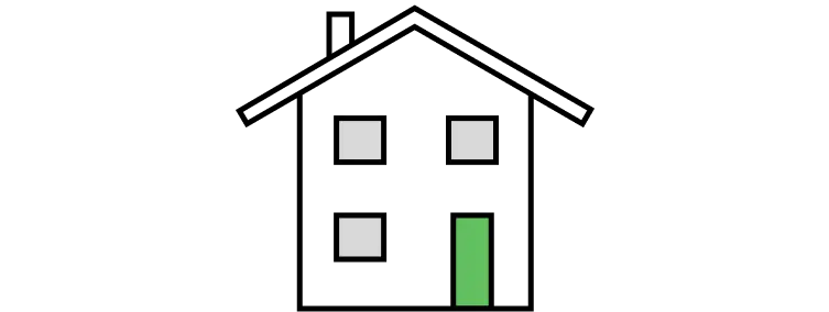
Detached
£1,128,000
69% above the Peckham Rye average
1.5% of sales

The average house price in Peckham Rye is £668,985, based on 99 homes sold in the 12 months to September 2026. Prices are down 3.6% (£24,945) on a year earlier.
Sold prices from HM Land Registry, not asking prices. How we calculate this
Average sold price by property type, and each type's share of recent sales.
£1,128,000
69% above the Peckham Rye average
1.5% of sales
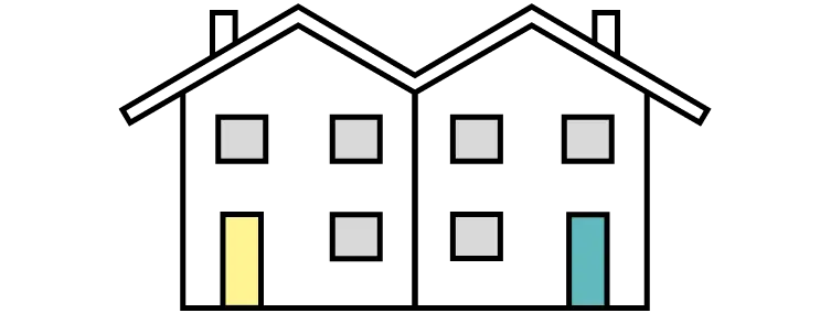
£1,350,420
102% above the Peckham Rye average
11.8% of sales
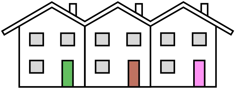
£988,141
48% above the Peckham Rye average
28.7% of sales
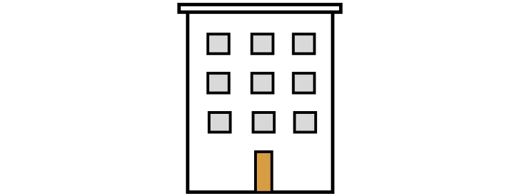
£429,037
36% below the Peckham Rye average
58.1% of sales
House prices in Peckham Rye are falling: down 3.6% (£24,945) over the past year. Over the past 10 years, prices are up 30.9% (£157,807).
−3.6%
−£24,945From £693,930 to £668,985
+30.9%
+£157,807From £511,178 to £668,985
11 key facts at a glance.
£1,260,000
99
Flats
£500k - £1m
10,161
Population density is Very High, on a scale from Very Low to Very High.
Usual residents, including communal establishments.
4,009
Household density is Very High, on a scale from Very Low to Very High.
Occupied households, not communal establishments.
83 m² per resident
44.8% of the area · 4 public parks. Parks, playing fields, allotments and other public green space, not counting golf courses. Contains OS data © Crown copyright and database right 2026.
52 crimes per 1,000 residents
Crime rate is Typical, on a scale from Very Low to Very High.
Contains public sector information licensed under the Open Government Licence v3.0. Source: police.uk.
18 listed buildings
2 conservation areas · 0 Grade I · Source: Historic England
NO₂ 13.4 µg/m³
NO₂ level is Very High, on a scale from Very Low to Very High.
Background levels where residents live, not beside busy roads. Contains public sector information licensed under the Open Government Licence v3.0. Source: Defra modelled background pollution, 2025.
2nd most expensive area of Camberwell and Peckham.
Compared with 7 areas with sales in the last 12 months
The highest recorded sale prices in Peckham Rye, from HM Land Registry.
#1 Most expensive sale
£3,375,000
Sold September 2024
View house detailsPeckham Rye compared with the 6 nearest other areas in Camberwell and Peckham.
Open comparison
Open comparison
Open comparison
Open comparison
Open comparison
Open comparison
There's a lot to think about. Whether it's a home to live in or a buy-to-let, our free checklist walks you through what to check before you make an offer.
What to check before you buyPrice information is from HM Land Registry, location boundaries are from OpenStreetMap, and households and population are from Nomis Census 2021 postcode estimates (21 March 2021). Parks and green space are from OS Open Greenspace. Contains OS data © Crown copyright and database right 2026. Crime is from police.uk street-level data. Contains public sector information licensed under the Open Government Licence v3.0. Source: police.uk. Listed buildings and scheduled monuments are from Historic England and Cadw, and conservation areas from planning.data.gov.uk. © Historic England 2026. Contains Ordnance Survey data © Crown copyright and database right 2026. Source: planning.data.gov.uk, Open Government Licence v3.0. Air quality is from Defra modelled background pollution maps. Contains public sector information licensed under the Open Government Licence v3.0. Source: Defra modelled background pollution, 2025.
Last updated 17 November 2026 at 20:45 with the latest Land Registry data (September 2026). The Peckham Rye dataset covers 155 postcodes.
Contains HM Land Registry data © Crown copyright and database right 2026. This data is licensed under the Open Government Licence v3.0.
About·Data methodology·Buying checklist·Privacy and cookies·YouTube


