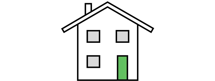
Detached
£411,388
36% above the Amesbury average
32.5% of sales

Detached houses are the most common type of property sold in Amesbury, at 32.5% of sales over the past two years. Semi-detached houses are next, at 31.5%.
Sold prices from HM Land Registry, not asking prices. How we calculate this
All house prices in AmesburyHouses make up 90.4% of sales in Amesbury, and flats 9.6%. Shares cover the past two years.
| Property type | Share of sales |
|---|---|
| Detached housesMost common | 32.5% |
| Semi-detached houses | 31.5% |
| Terraced houses | 26.4% |
| Flats | 9.6% |
Average sold price by property type, and each type's share of recent sales.
£411,388
36% above the Amesbury average
32.5% of sales
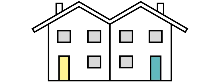
£284,470
6% below the Amesbury average
31.5% of sales
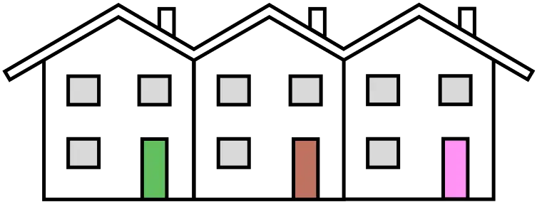
£272,476
10% below the Amesbury average
26.4% of sales
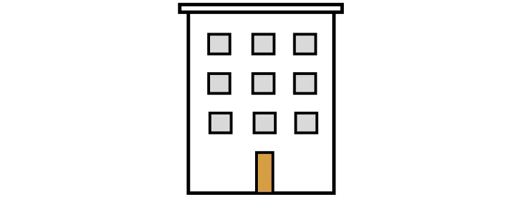
£155,279
49% below the Amesbury average
9.6% of sales
More quick answers on house prices, sales, areas, green space, crime, air quality and listed buildings in Amesbury.
Price information is from HM Land Registry, location boundaries are from OpenStreetMap, and households and population are from Nomis Census 2021 postcode estimates (21 March 2021). Parks and green space are from OS Open Greenspace. Contains OS data © Crown copyright and database right 2026. Crime is from police.uk street-level data. Contains public sector information licensed under the Open Government Licence v3.0. Source: police.uk. Listed buildings and scheduled monuments are from Historic England and Cadw, and conservation areas from planning.data.gov.uk. © Historic England 2026. Contains Ordnance Survey data © Crown copyright and database right 2026. Source: planning.data.gov.uk, Open Government Licence v3.0. Air quality is from Defra modelled background pollution maps. Contains public sector information licensed under the Open Government Licence v3.0. Source: Defra modelled background pollution, 2025.
Last updated 11 November 2026 at 01:21 with the latest Land Registry data (September 2026). The Amesbury dataset covers 387 postcodes.
Contains HM Land Registry data © Crown copyright and database right 2026. This data is licensed under the Open Government Licence v3.0.
About·Data methodology·Buying checklist·Privacy and cookies·YouTube