
Detached
£950,000
137% above the St Mary's average
5.7% of sales

The average house price in St Mary's is £400,359, based on 42 homes sold in the 12 months to August 2026. Prices are up 5.3% (£20,075) on a year earlier.
Sold prices from HM Land Registry, not asking prices. How we calculate this
Average sold price by property type, and each type's share of recent sales.
£950,000
137% above the St Mary's average
5.7% of sales
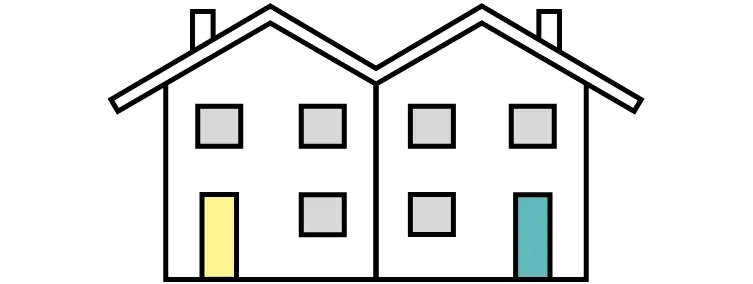
£440,300
10% above the St Mary's average
59.0% of sales

£384,555
4% below the St Mary's average
16.2% of sales

£223,250
44% below the St Mary's average
19.1% of sales
House prices in St Mary's are rising: up 5.3% (£20,075) over the past year. Over the past 10 years, prices are up 53.9% (£140,167).
+5.3%
+£20,075From £380,284 to £400,359
+53.9%
+£140,167From £260,192 to £400,359
5 key facts at a glance.
£599,995
42
Semi-detached houses
£400k - £500k
4th most expensive area of Swanley.
Compared with 5 areas
The highest recorded sale prices in St Mary's, from HM Land Registry.
#1 Most expensive sale
£950,000
Sold December 2025
View house detailsSt Mary's compared with the 4 nearest other areas in Swanley.
Open comparison
Open comparison
Open comparison
Open comparison
Price information is from HM Land Registry, location boundaries are from OpenStreetMap, and households and population are from Nomis Census 2021 postcode estimates (21 March 2021).
Last updated 30 September 2026 at 03:23 with the latest Land Registry data (August 2026). The St Mary's dataset covers 229 postcodes.
Contains HM Land Registry data © Crown copyright and database right 2026. This data is licensed under the Open Government Licence v3.0.


